
Where and when: Newfoundland, Canada, August 2025
0900: Today, we started our road trip across Newfoundland. It’s a total of 690km, from Cornerbrook in the West to St John’s in the East. We’d be doing the trip over 3 days with a couple of stops along the way. (We hired the car from Enterprise in Cornerbrook, and will be dropping it off in St John’s).
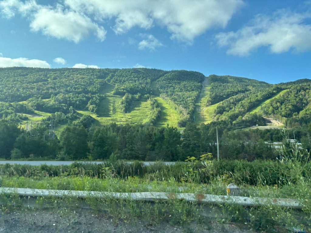
The first 50 minutes was in the Trans-Canada highway, which runs the length of Newfoundland (Actually, it runs the length of Canada, from Haidar Gmail in the West to St John’s in the East, so the bit we are on is actually the last bit of the Trans-Canada Highway).
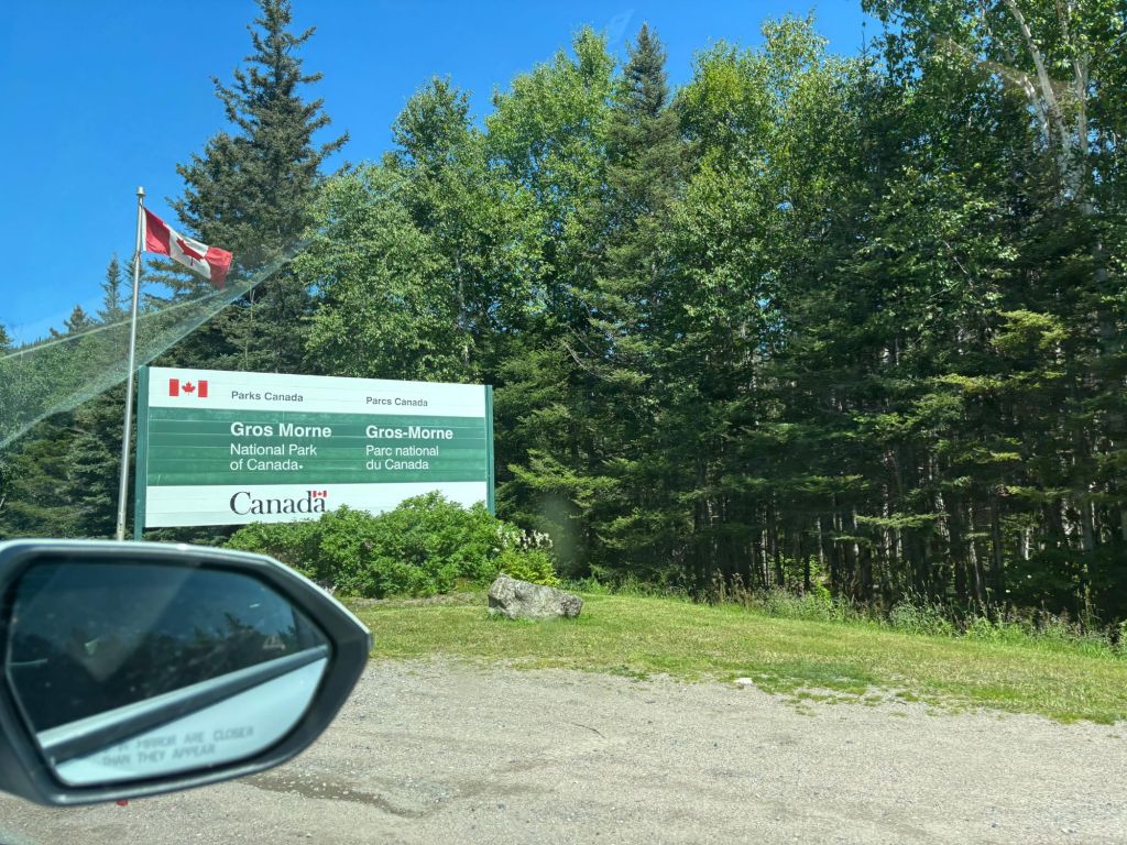
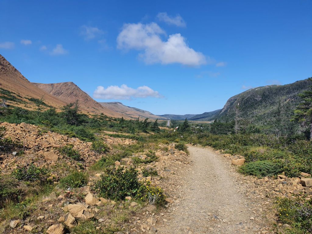
After we got as far as Deer Lake, it was time for the first detour of the trip. Our first stop was Gros Morne (meaning “Large Mountain” in French) National park in the Northern Peninsula of Newfoundland. It is designated as a World Heritage site, due to its geological importance.
Tablelands Trail
1100: Our first stop in Gros Morne was the Tablelands Trail.
This is a very unusual Geological feature, being one of the few places where you can see (and walk on) the Earth’s Mantle. (The Mantle is the layer of the planet between the crust (the outermost layer) and the core (the innermost part)).
Half a billion years ago this part of Earth was thrust up as ancient continents collided, building the Appalachian Mountain chain and assembling a supercontinent, Pangea.
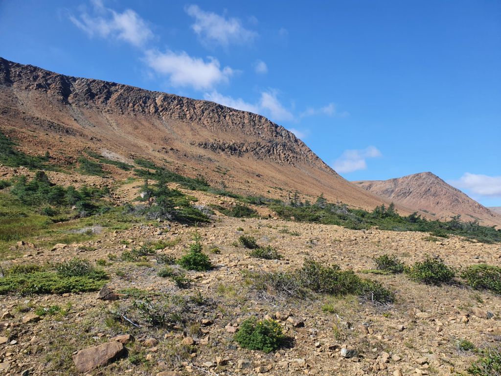
The kilometers long Earth crust has disappeared after 400 million years of erosion, revealing the mantle; a barren, orange landscape.

The colour of the rocks is due to their high iron content, turning rust coloured as it is exposed to air. All of this was explained to us by a very friendly Canada Parks Ranger who was there.
The main trail takes about a 1.5 – 2 hr to walk (round trip), but for experienced (and well equipped) hikers there’s the option to climb the Tablelands mountains themselves.
Also, due to the high mineral content, the rocks here are much heavier than they look (I know, because I tested the theory by trying to lift one up!).
Lobster Cove Lighthouse
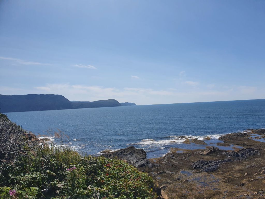
1300: Our next stop was the Lighthouse at Lobster Cove Head.
Dating back to 1897, the Lobster Cove lighthouse and the keepers house is a designated heritage building.
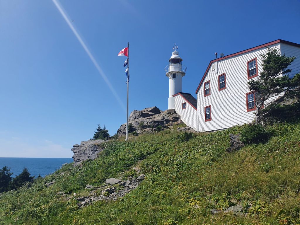
Inside is a great museum that tells you more about how lighthouse operates. Each lighthouse in the World has its unique “signature” – the timing of the light flashes. The sailors on ships would time the light and refer to the manual on the ship to work out which light house it was and therefore which part of the coast they were near to. The museum also explained the life of a lighthouse keeper – a hard job, which required staying up all night to keep the lights working. But it was also a prestigious and well paid job at the time, which meant that it was often kept in the families and passed from father to son.

Rocky Harbour
1500: We stopped in Rocky Harbour, a picturesque and typical coastal town for a late lunch.
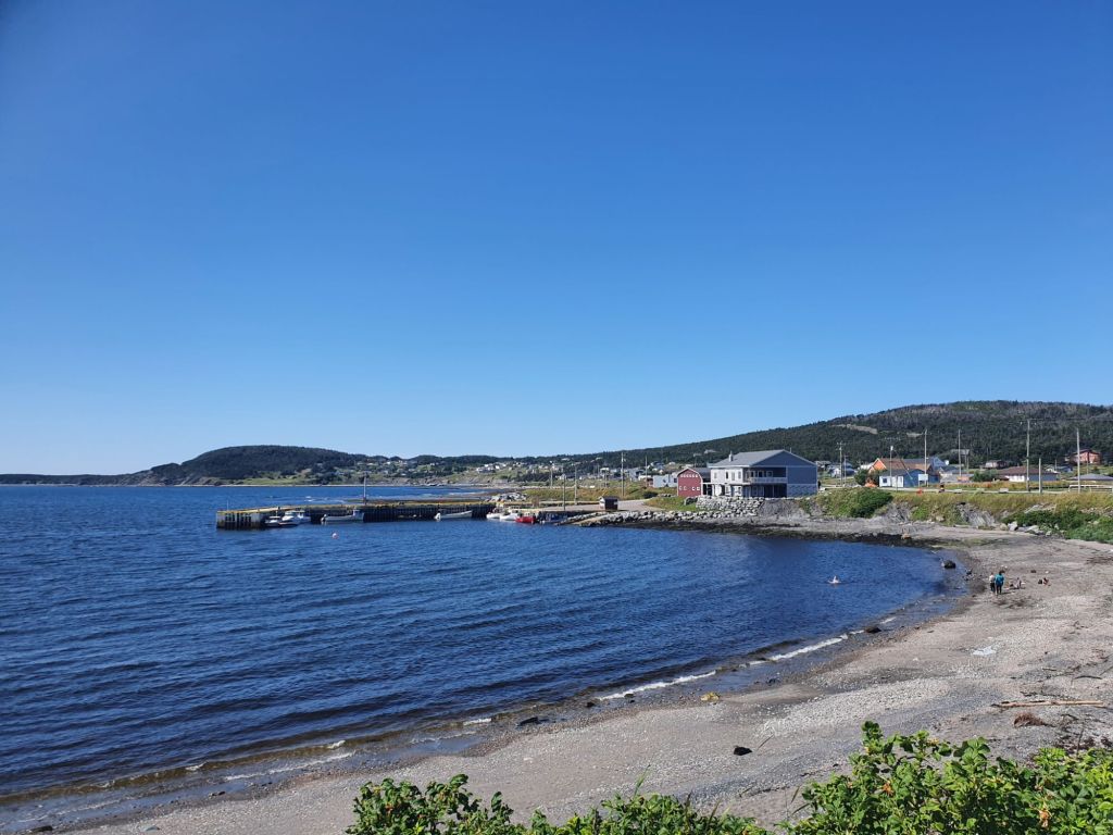
Many of these towns in Newfoundland started life as small fishing villages, but the fishing industry declined with the fishing moratorium (to preserve fish stocks), so the population in these small villages dwindled over time. These days tourism is one of the main industries here (that and logging).

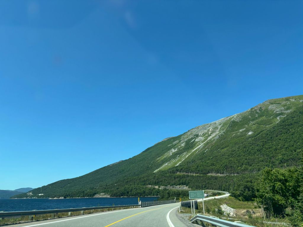
Norris Point
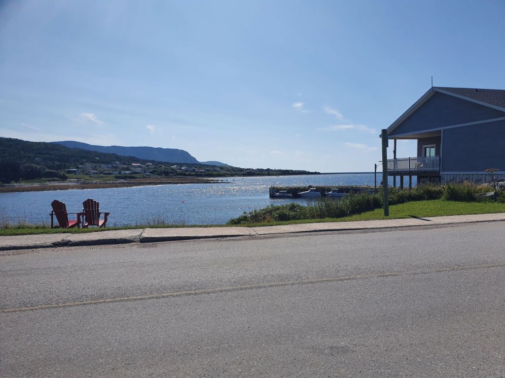
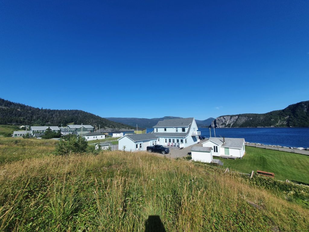
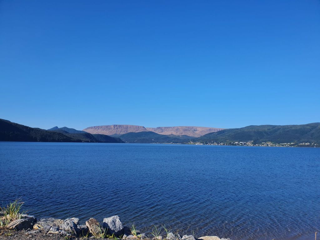
1700: Our last stop for the day, (and overnight stop) was Norris Point, at Bonne Bay. Again, a very picturesque little town on the coast right at bottom of the Northern Peninsula.
One of the best thing about Norris Point is that you can see Tablelands mountain across Bonne Bay.
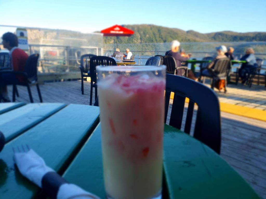
And the best way to enjoy the scenery? Over a drink at the Cat Stop waterfront pub.


Our overnight stay was at the Tides Inn at Norris Point, a lovely boutique hotel with very nice owners. There are great views from the bedrooms.
Quick Links
Overnight Accommodation: Tides Inn, Norris Point
Visited: Tablelands Trail, Lobster Cove Lighthouse

Fascinating fact about the mantle. And thank you for doing the rock-lifting experiment and reporting back. 🙂 I admit, this area looks pretty.
LikeLiked by 1 person
😀
LikeLiked by 1 person